
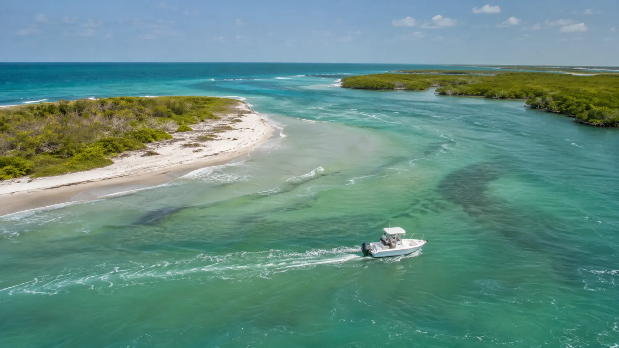
Understanding Stump Pass Waterway and Tidal Inlet
Tide, shoaling, wind and boat traffic can make the inlet behave differently from protected water farther inside the bay. A striking view never overrides safe navigation or posted markers.
How to plan around it
Treat Stump Pass as geographic context unless the confirmed trip specifically includes it. Use the separate state park visitor guide for land access and park planning.
A respectful way to experience Lemon Bay
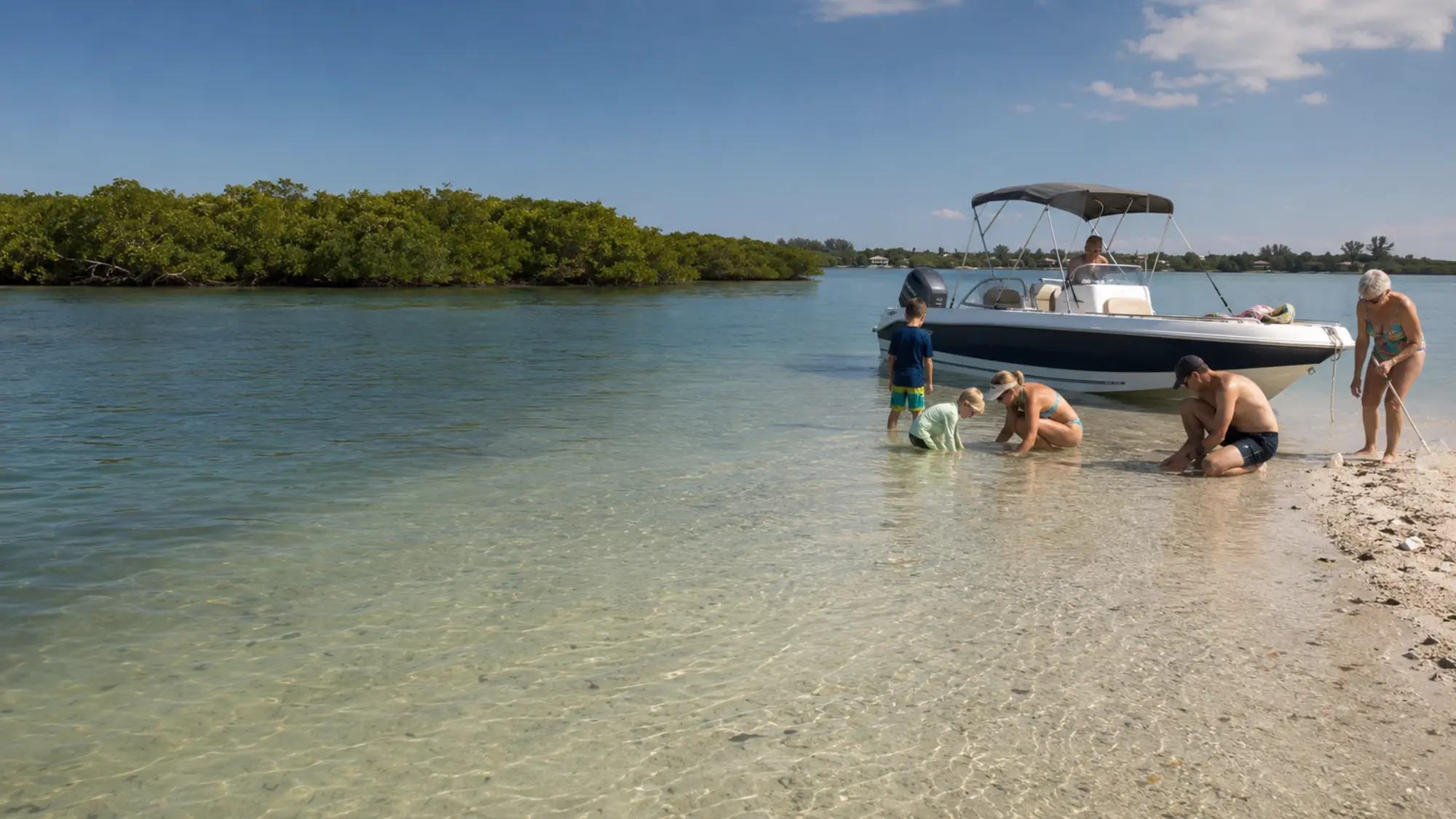
Lemon Bay is a shallow estuary shaped by seagrass, oyster habitat and mangrove shorelines. Good trips follow posted navigation and wildlife rules, keep a considerate distance from animals and leave the waterway as it was found.
- Follow posted slow-speed and no-wake zones
- Never feed or pursue wildlife
- Keep loose items and fishing line secured
- Choose reusable containers when practical
Stump Pass from the Lemon Bay side
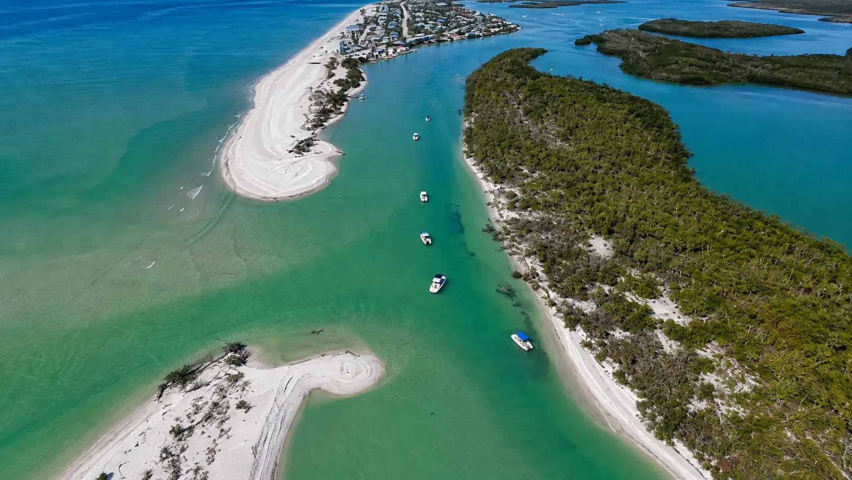
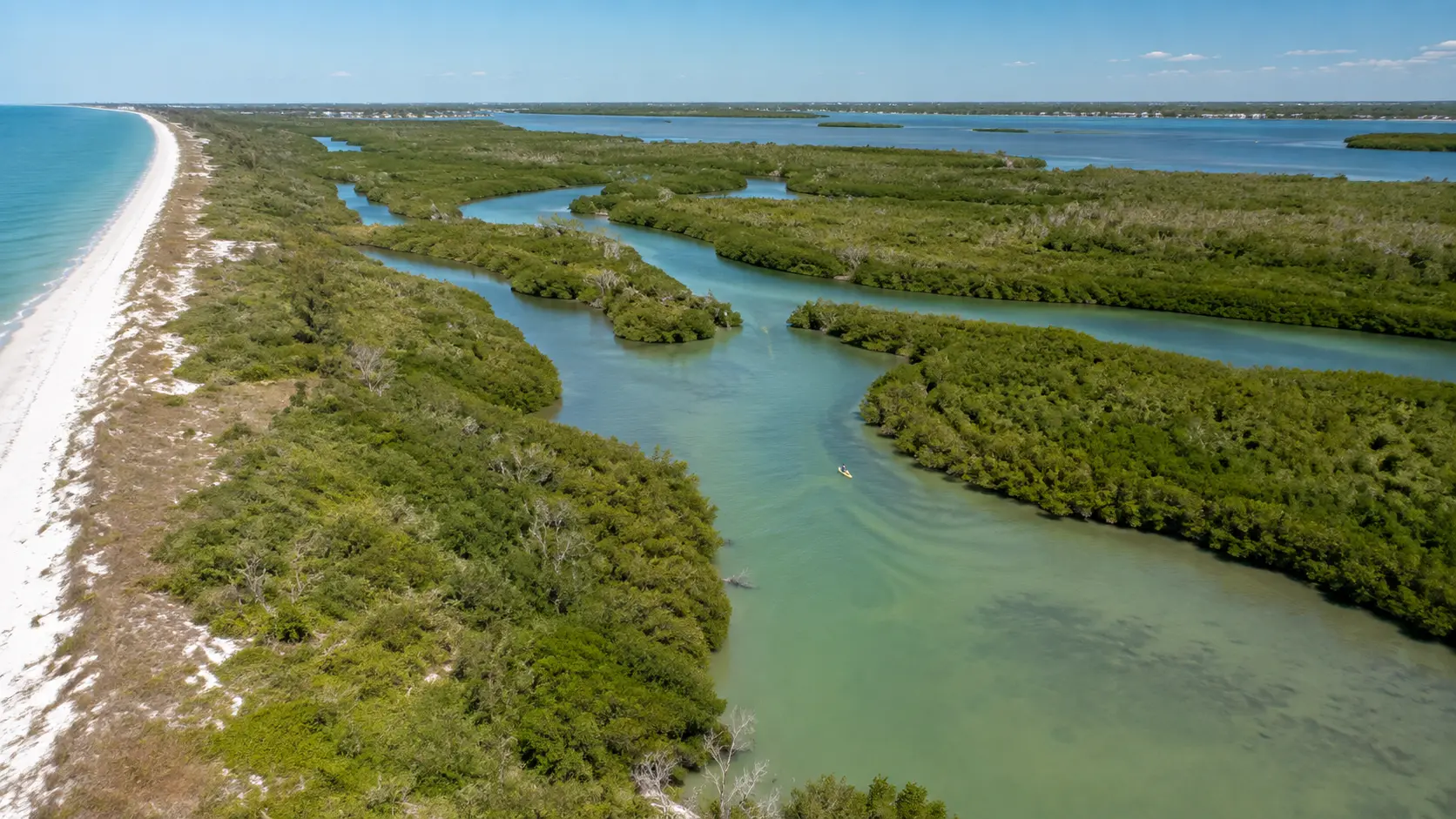
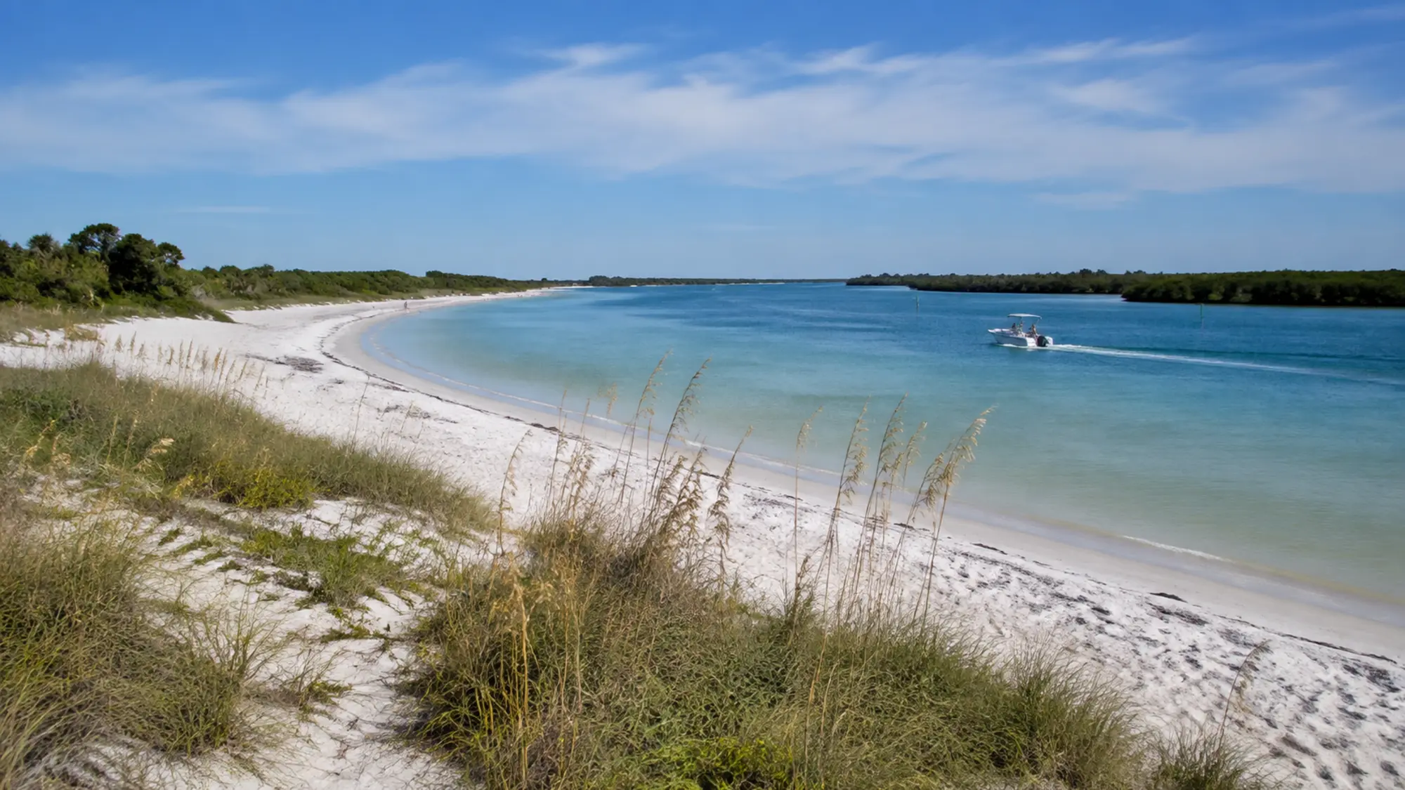
From a boat approaching through the bay, Stump Pass is not only the end of a beach walk. It is the place where protected estuary water, sandy shoals, island edges and Gulf exchange come together. Current becomes easier to notice, and the water can feel more exposed as the route nears the inlet.
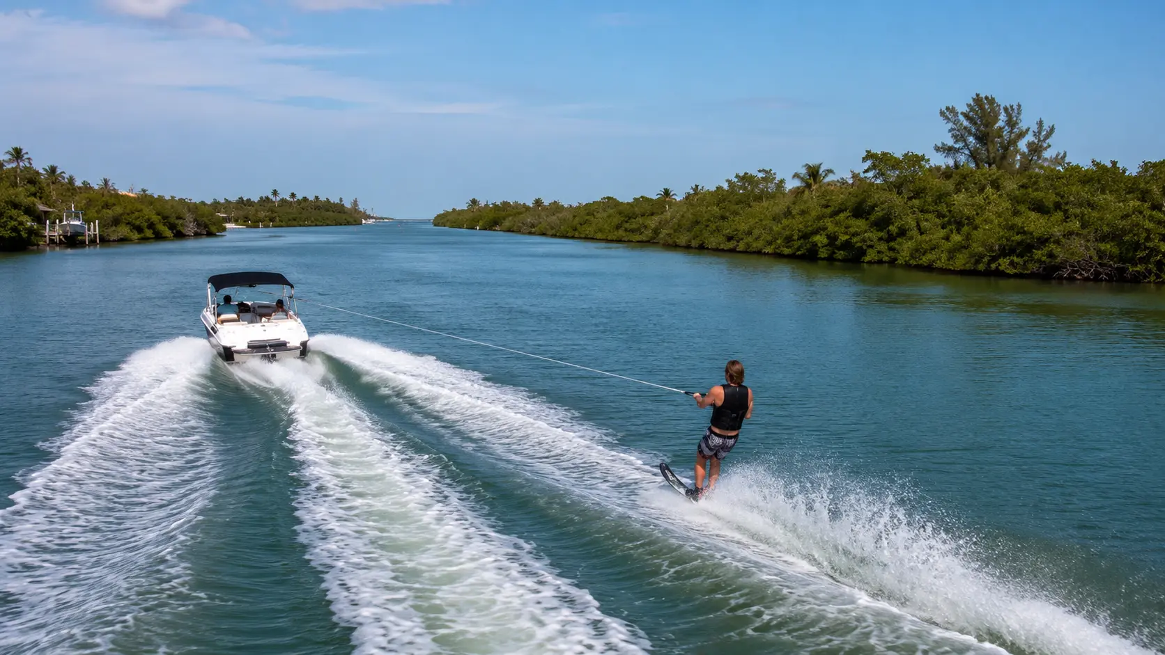
Peterson Island, Whidden Key, Rag Alley and Ski Alley sit within the larger Stump Pass setting. Learning those relationships helps a visitor understand why local boaters use different names for waterways that can look like one mangrove maze on a satellite image.
A pass is a moving feature
Sand around an inlet is not fixed. Storms, tide and repeated current can change shoals and shoreline shape, which is why a route used on an earlier visit cannot be treated as a permanent track. Milton Pass offered a recent example when a storm-created opening later plugged itself naturally.
A tour may show the Stump Pass environment when conditions and duration allow, but it should not promise a particular crossing, anchoring point or fishing spot. Current markers and the captain's judgment control.
Questions, answered
Stump Pass Waterway and Tidal Inlet FAQ
Specific reservation details are confirmed in writing before your trip.
Does every Englewood tour go through Stump Pass?
No. Route and conditions decide whether the area is relevant to a specific trip.
Is Stump Pass the same as the state park?
No. Stump Pass is the waterway; Stump Pass Beach State Park protects neighboring land at the south end of Manasota Key.
Can conditions change quickly?
Yes. Tide, wind, shoaling and traffic can make passes more complex than protected bay water.
Can you see the Gulf from Stump Pass?
The pass connects bay and Gulf waters, though the actual view depends on position and conditions.
Related boat experience
Turn this planning guide into time on the water.
Review Sandbar and Island Boat Tour for the relevant trip details, boat options, private-group rates and availability process.