
Understanding Understanding Lemon Bay Tides
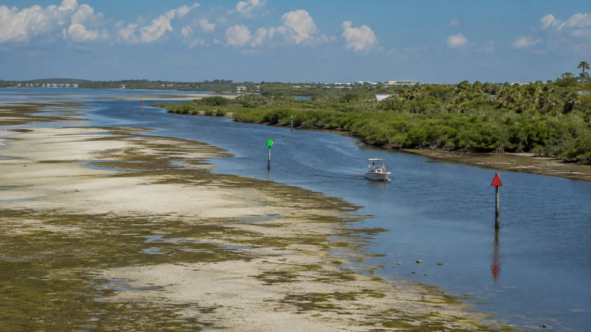
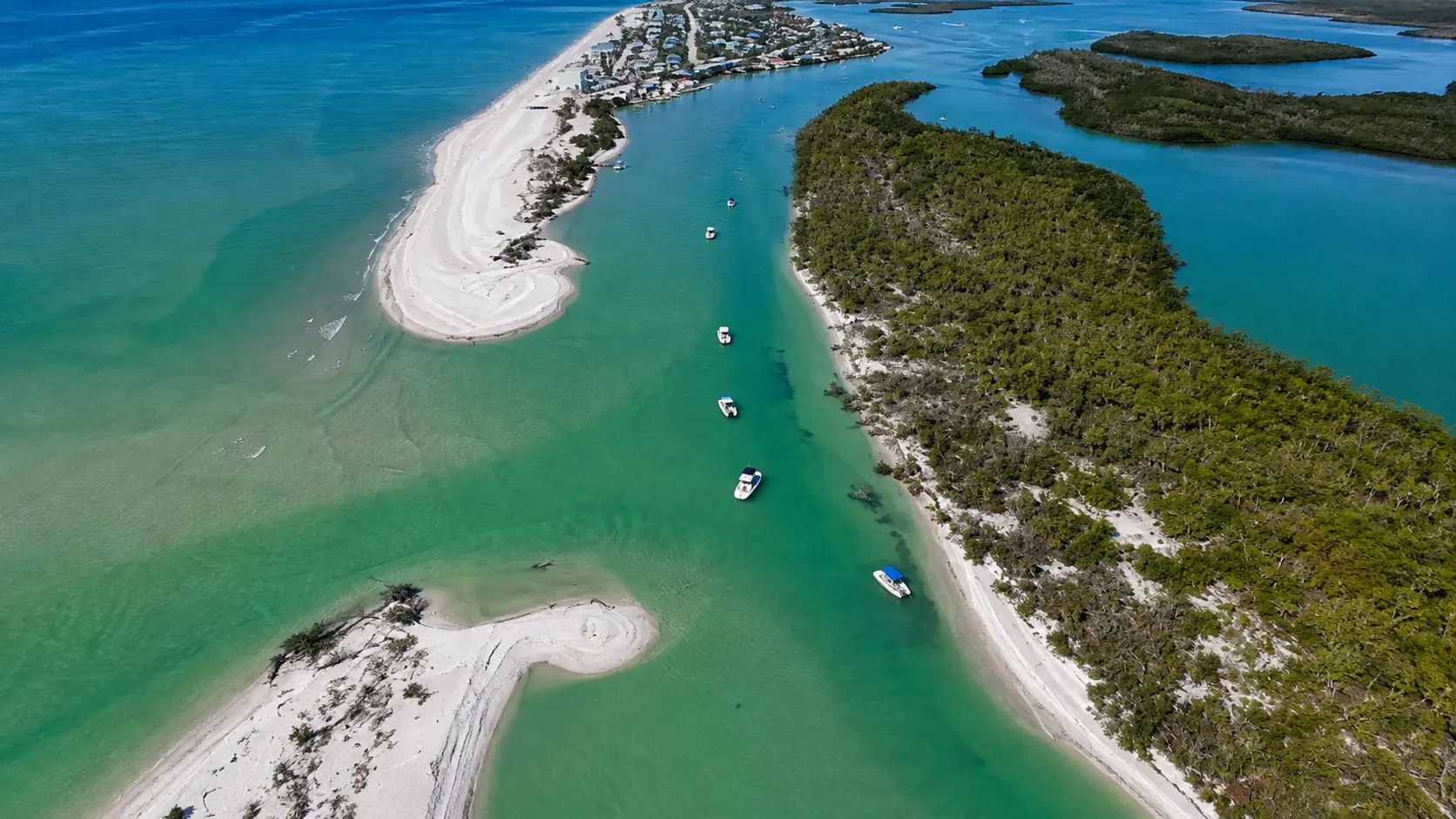
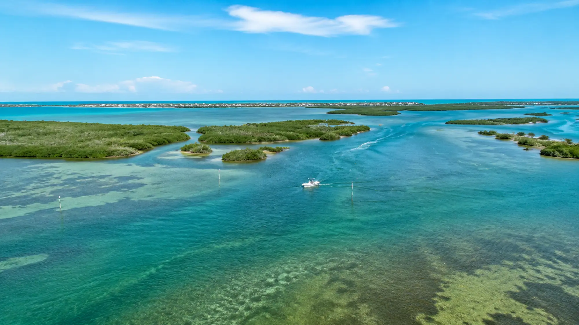
In a shallow estuary, relatively small depth changes can influence access, current and how shorelines look. Local channels and passes do not all respond identically.
How to plan around it
Use tide data as context rather than a promise. The operator remains responsible for route and safe navigation.
A respectful way to experience Lemon Bay
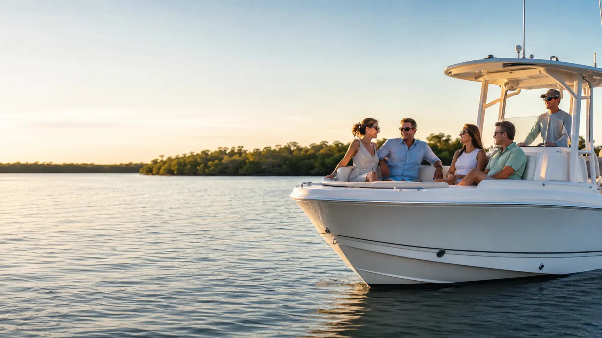
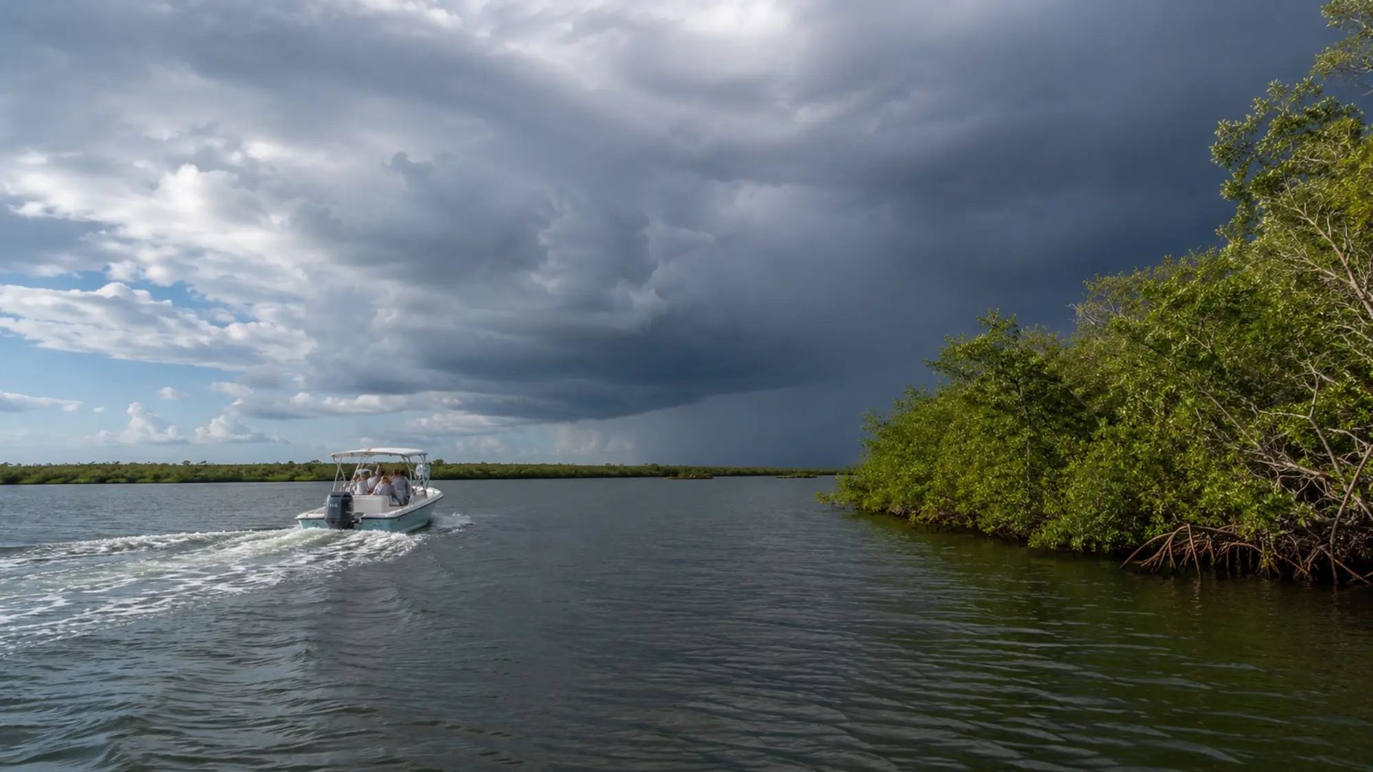
Lemon Bay is a shallow estuary shaped by seagrass, oyster habitat and mangrove shorelines. Good trips follow posted navigation and wildlife rules, keep a considerate distance from animals and leave the waterway as it was found.
- Follow posted slow-speed and no-wake zones
- Never feed or pursue wildlife
- Keep loose items and fishing line secured
- Choose reusable containers when practical
A tide table and visible current answer different questions
The published prediction estimates water level at a reference point. It does not describe the exact second current changes beside every seawall, channel bend or mangrove point. Local water can lag, accelerate or appear different because of wind and the shape of the creek or bay.
At the mouth of Gottfried Creek, Roly has observed leaves and debris held near the seawall while material farther into the channel continued moving. The surface clue was real, but incomplete until compared with the wider water.
How a guest can read the change safely
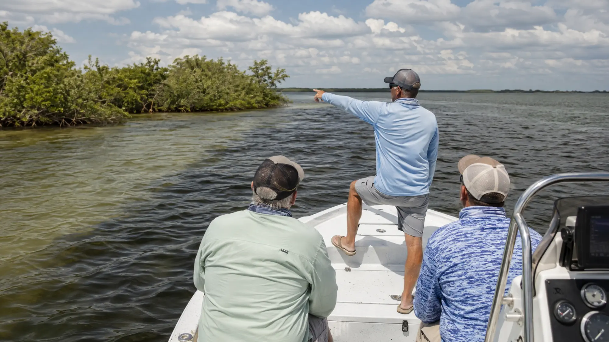
Watch fixed references such as pilings, channel markers and exposed shoreline rather than judging motion from the boat alone. Notice whether the waterline is rising or falling and whether a wind line differs from the movement below it.
These observations improve understanding, but they do not replace navigation knowledge. The captain decides route and access using depth, markers, forecast conditions and vessel needs together.
Questions, answered
Understanding Lemon Bay Tides FAQ
Specific reservation details are confirmed in writing before your trip.
Where can I find official Lemon Bay tides?
NOAA Tides and Currents lists an Englewood, Lemon Bay station.
Why does the water differ from the prediction?
Wind, pressure, rainfall and local geography can affect observed levels.
Does low tide stop all tours?
Not necessarily. Route, vessel draft and local knowledge determine what is practical.
Which tide is best for a cruise?
There is no universal best tide; safety and the trip plan matter more than a slogan.
Related boat experience
Turn this planning guide into time on the water.
Review Private Lemon Bay Tour and Custom Charter for the relevant trip details, boat options, private-group rates and availability process.