
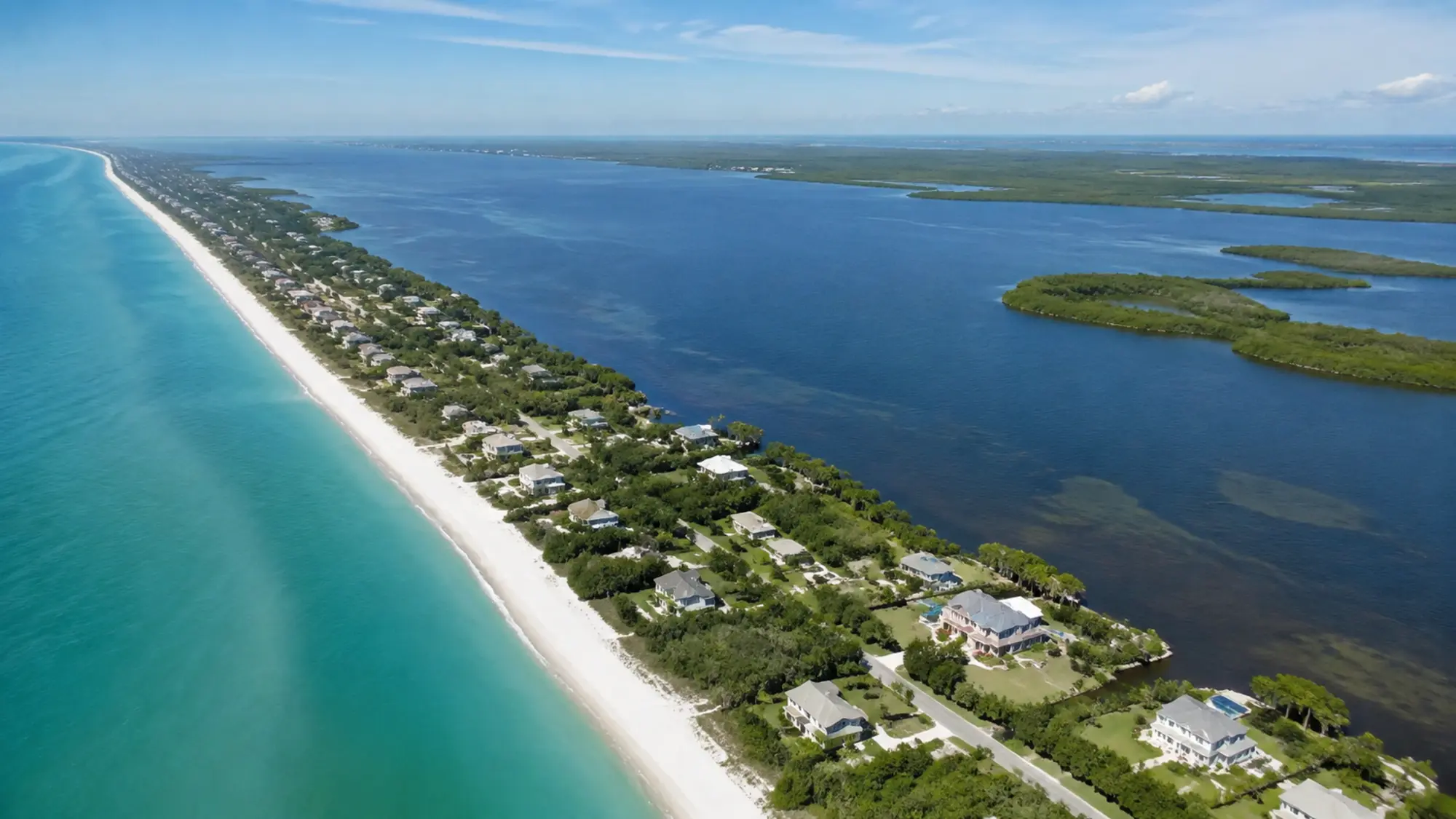
Understanding Manasota Key
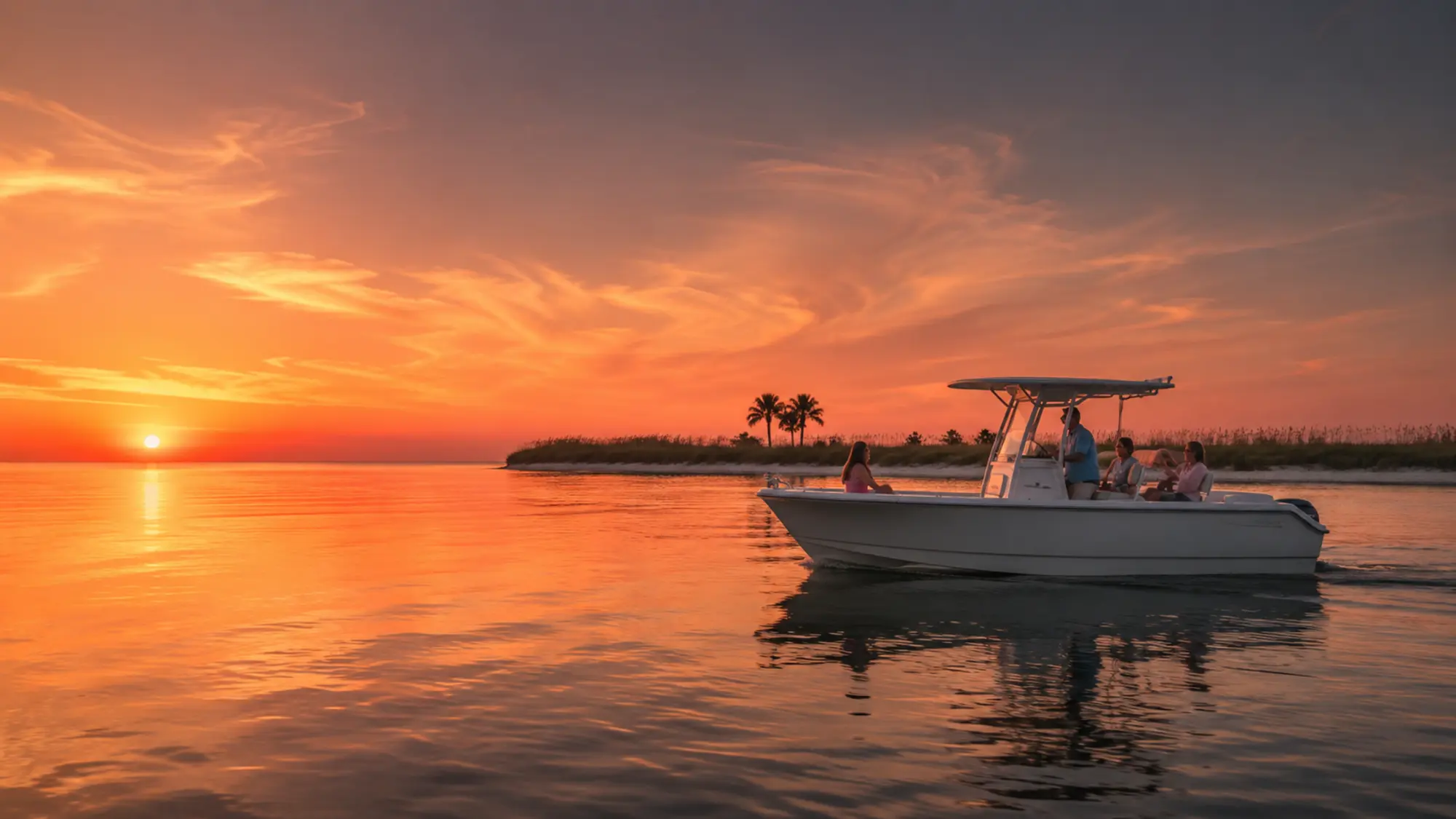
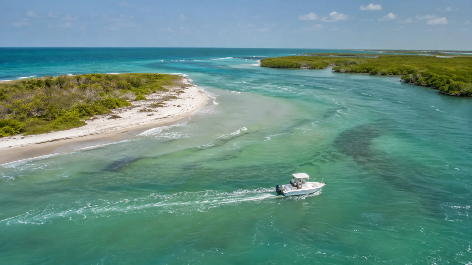
The key's low profile helps the western sky command attention near sunset. At the southern end, Stump Pass provides a dynamic connection between the bay and Gulf.
Manasota Key makes more sense when viewed as part of the Lemon Bay system. The mainland, barrier islands, passes, mangrove shorelines and shallow flats are connected, but they do not all feel the same from the water. Wind, tide and season change which features are most noticeable and which routes are comfortable on a given trip.
How to plan around it
Use current maps and official park information when planning land visits. On the water, follow marked channels, posted zones and the operator's instructions.
A place name on a map does not guarantee that a tour will enter, pass or stop there. Route decisions depend on safe navigation, protected habitat, posted zones, weather and the experience being booked. Use this guide to understand the setting, then confirm any location that is essential to your plans.
A respectful way to experience Lemon Bay
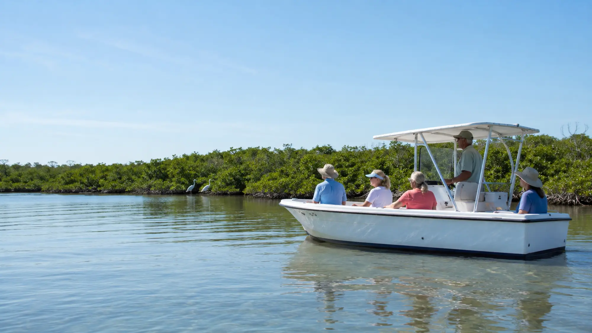
Lemon Bay is a shallow estuary shaped by seagrass, oyster habitat and mangrove shorelines. Good trips follow posted navigation and wildlife rules, keep a considerate distance from animals and leave the waterway as it was found.
The strongest way to experience Manasota Key is to pay attention to transitions: developed shoreline becoming mangrove, open bay narrowing toward a pass, or deeper color revealing a channel beside a flat. Those details explain the area's ecology and boating character more clearly than a checklist of landmarks.
- Follow posted slow-speed and no-wake zones
- Never feed or pursue wildlife
- Keep loose items and fishing line secured
- Choose reusable containers when practical
Place Manasota Key on your Englewood itinerary
Plan land and water activities as separate blocks with travel and weather flexibility between them. A morning beach visit and an evening cruise can work well, but only when the group has time to eat, change clothes and reach the confirmed meeting point without rushing.
Parking, park access and public-facility rules may change independently of a boat reservation. Check the responsible agency for current land-side details, and use the operator's confirmation for boat departure instructions.
- Separate park hours from tour times
- Allow for seasonal traffic and bridge delays
- Keep beach gear out of the boat unless approved
- Confirm any must-see location before booking
Observe the area responsibly
Shallow water and shoreline habitat can look open while still being sensitive. Seagrass, oyster habitat and mangrove roots support fish and wildlife and should not be disturbed for a closer view. Posted slow-speed and no-wake zones also protect people, animals and property.
Photography should never require chasing wildlife, entering a closed area or pressuring the captain to leave a safe route. A respectful distance often produces a more natural encounter and a better understanding of the place.
- Stay within marked and lawful access
- Never feed wildlife
- Secure trash and fishing line
- Follow the captain's instructions near shallow habitat
Questions, answered
Manasota Key FAQ
Specific reservation details are confirmed in writing before your trip.
Is Manasota Key an island?
Yes. It is a barrier island between the Gulf of Mexico and Lemon Bay.
Is Englewood Beach on Manasota Key?
Yes, Englewood Beach is on the key.
Can a cruise travel the entire key?
Do not assume that route. Trip time, conditions and safe navigation determine the operating area.
Why does the key matter at sunset?
It shapes the western horizon and the relationship between bay and Gulf views.
Related boat experience
Turn this planning guide into time on the water.
Review Private Lemon Bay Tour and Custom Charter for the relevant trip details, boat options, private-group rates and availability process.