
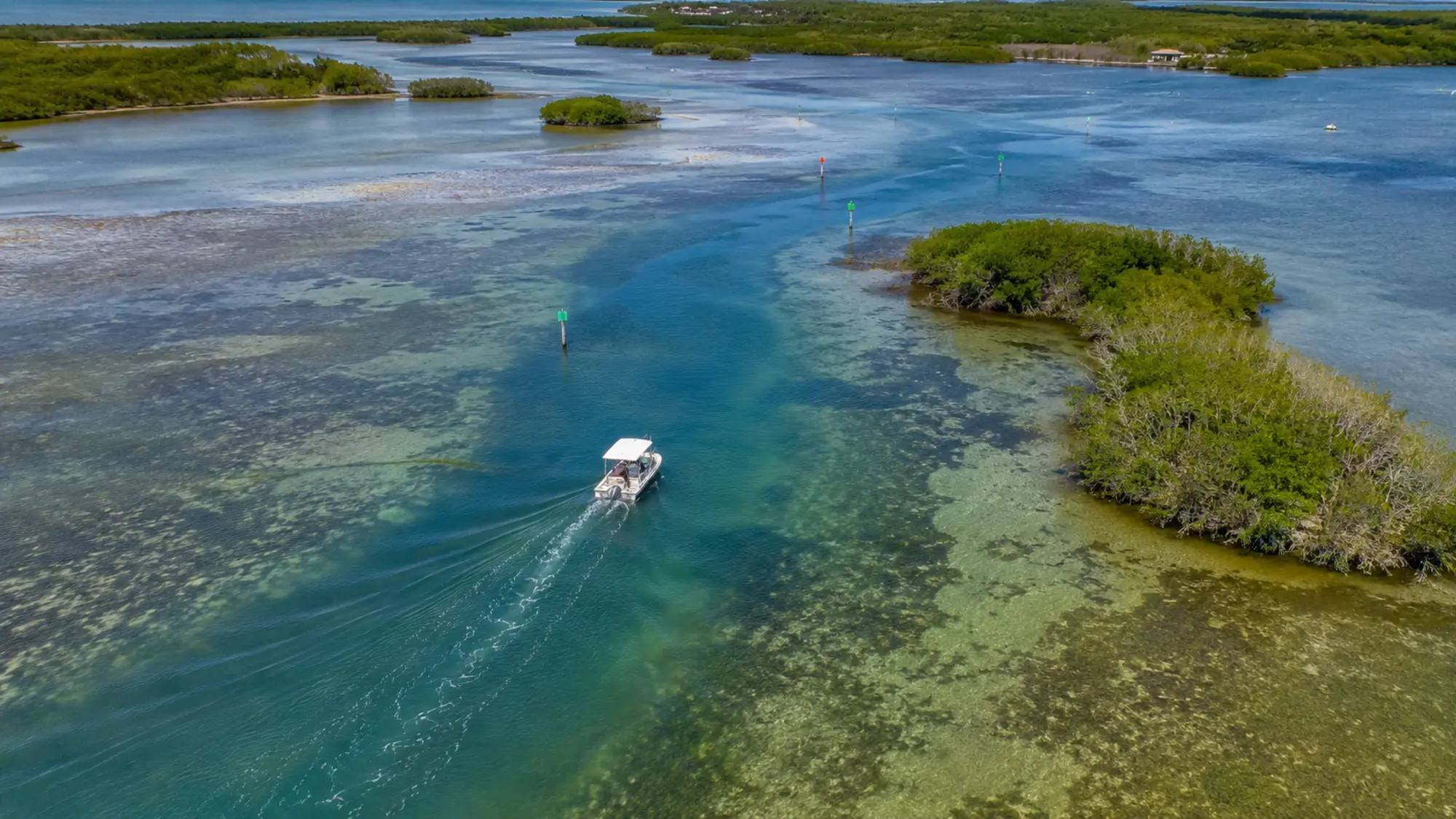
Understanding How to Read Lemon Bay From a Boat
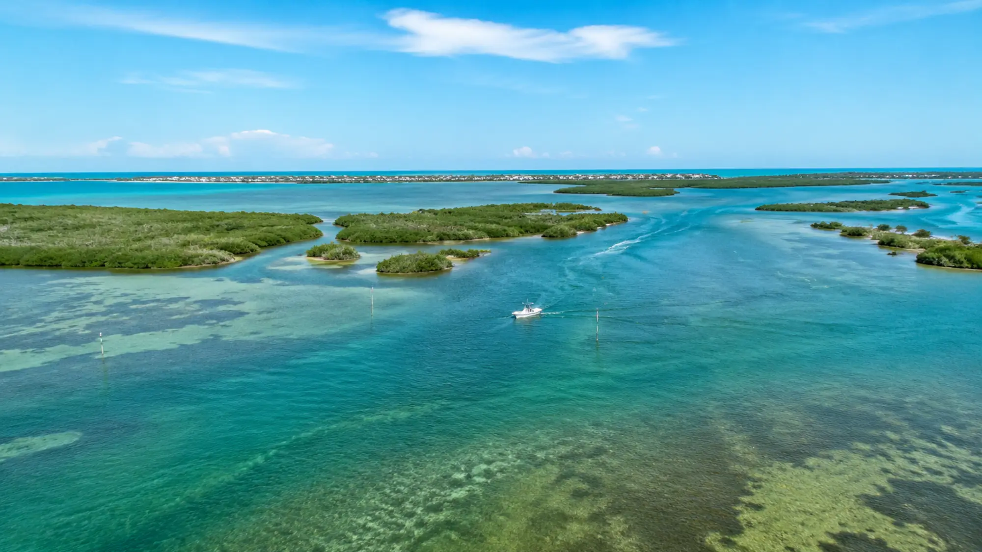
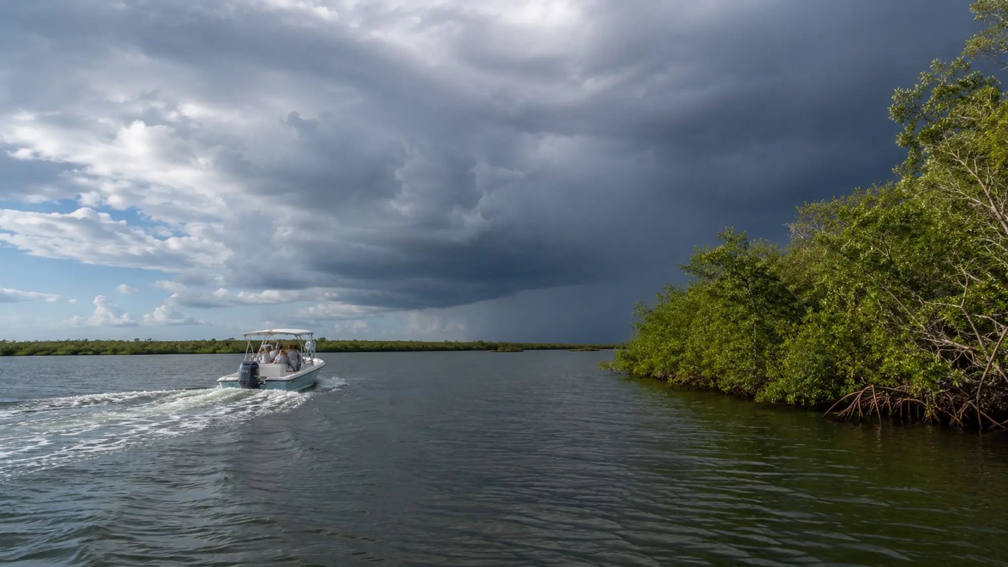
Water color can suggest depth but does not replace a chart, markers or captain judgment. Wind can push surface water, tide can expose different edges and boat traffic can change comfort even within protected water.
How to plan around it
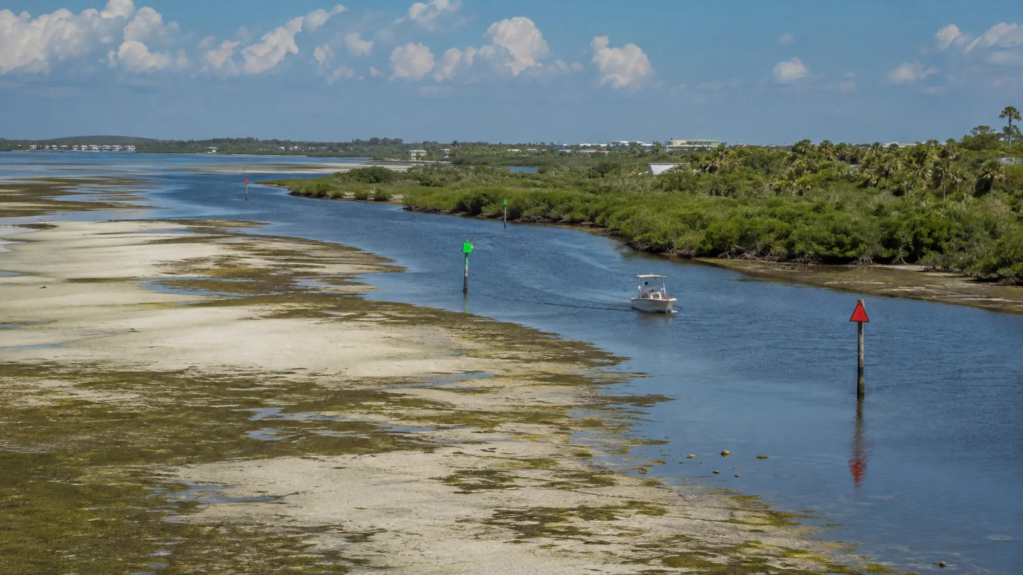
Compare the map with visible markers and shoreline transitions, then let the captain handle navigation. Notice where developed shoreline becomes mangrove, where darker water suggests a channel and where birds or bait reveal active habitat without assuming the boat should approach.
A respectful way to experience Lemon Bay
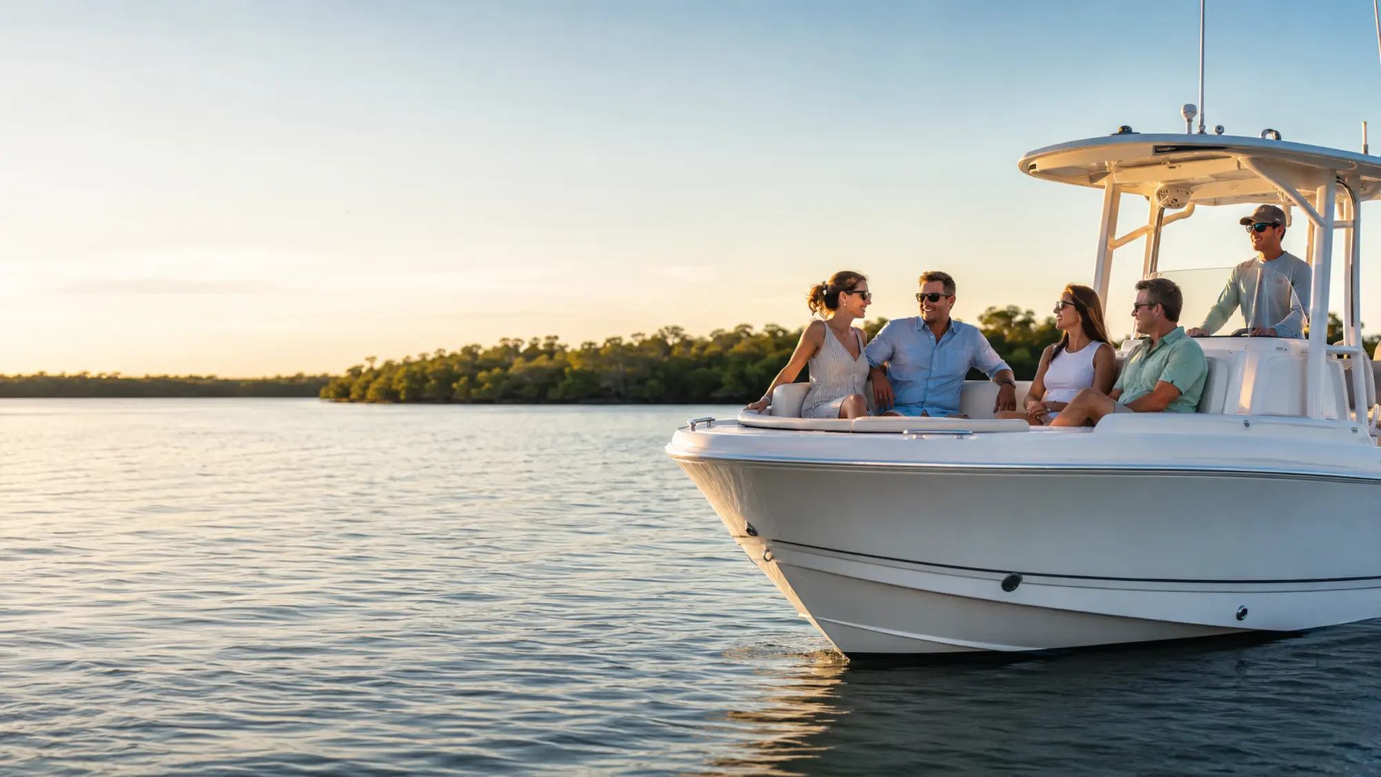
Lemon Bay is a shallow estuary shaped by seagrass, oyster habitat and mangrove shorelines. Good trips follow posted navigation and wildlife rules, keep a considerate distance from animals and leave the waterway as it was found.
- Follow posted slow-speed and no-wake zones
- Never feed or pursue wildlife
- Keep loose items and fishing line secured
- Choose reusable containers when practical
A guest's first transition onto Lemon Bay
The departure area provides an immediate geography lesson. Gottfried Creek narrows the view, then the mouth opens toward Lemon Bay and the opposite side of the estuary. That change in scale helps visitors recognize why a bay route can include both sheltered shoreline and longer open-water views.
Look for where developed shoreline gives way to mangrove, where markers define a maintained path and where bottom color changes near a flat. These are visual clues to discuss, not directions for self-navigation.
Surface appearance can be misleading
Wind acts strongly on the surface. Leaves beside a seawall can appear motionless or move one way while current farther from the edge moves differently. Sun directly overhead can also make shallow water look exceptionally clear and expose bottom detail that was harder to see earlier.
A captain reads those observations with charts, markers and depth rather than treating any one sign as proof. Guests can use them to understand the bay while leaving navigation to the person operating the boat.
Questions, answered
How to Read Lemon Bay From a Boat FAQ
Specific reservation details are confirmed in writing before your trip.
Is this page a navigation guide?
No. It helps guests understand what they see, but current charts, posted markers and captain judgment control navigation.
How is this different from the Lemon Bay area page?
The area page explains location and geography. This guide focuses on interpreting conditions and visible features from a boat.
Why does water color change?
Depth, bottom type, sunlight, wind and suspended material can all affect appearance.
Which tour gives a broad introduction to the bay?
The Private Lemon Bay Tour is the most flexible commercial option for a scenic overview, subject to conditions and the confirmed route.
Related boat experience
Turn this planning guide into time on the water.
Review Private Lemon Bay Tour and Custom Charter for the relevant trip details, boat options, private-group rates and availability process.